




















Our Stak Verified® Deliverables
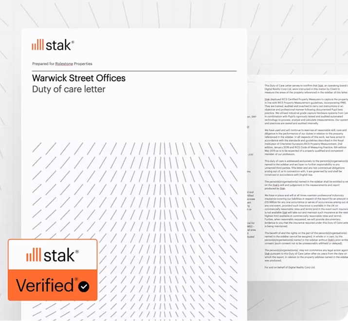
At the heart of every project is verified point cloud data, providing a single source of truth for all deliverables, from RICS compliant (NIA, GIA & IPMS) measurement reports to 2D CAD, 3D models, digital twins, and compliance-ready outputs. With insurance-backed deliverables, we give stakeholders complete confidence in every decision.
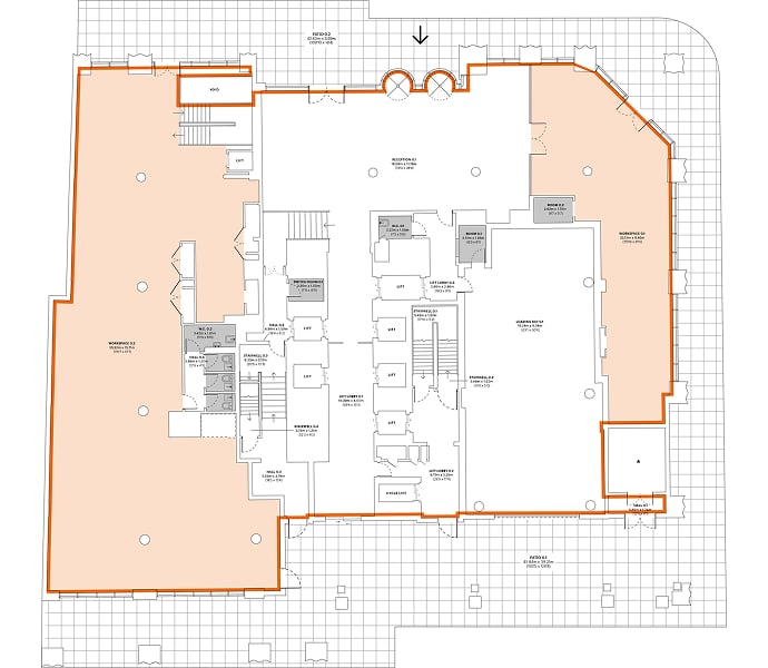
Building Measured Surveys
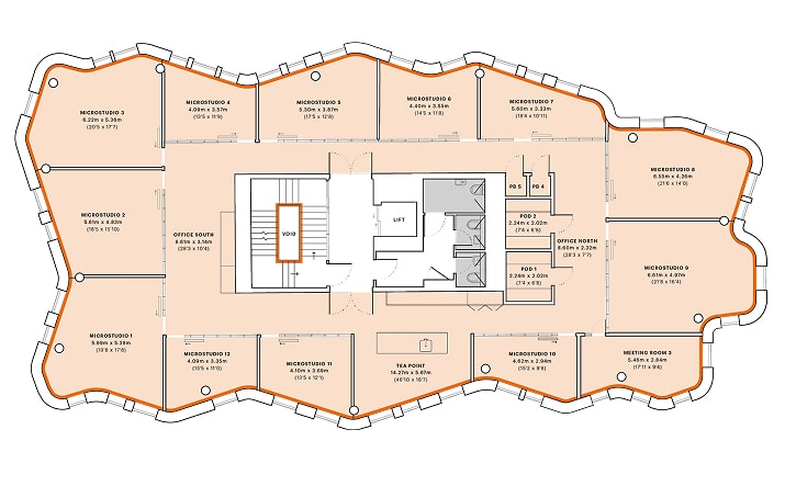
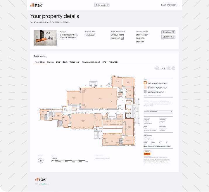
Complete building surveys with floor plans, measurement reports, imagery and RICS-compliant measurements.

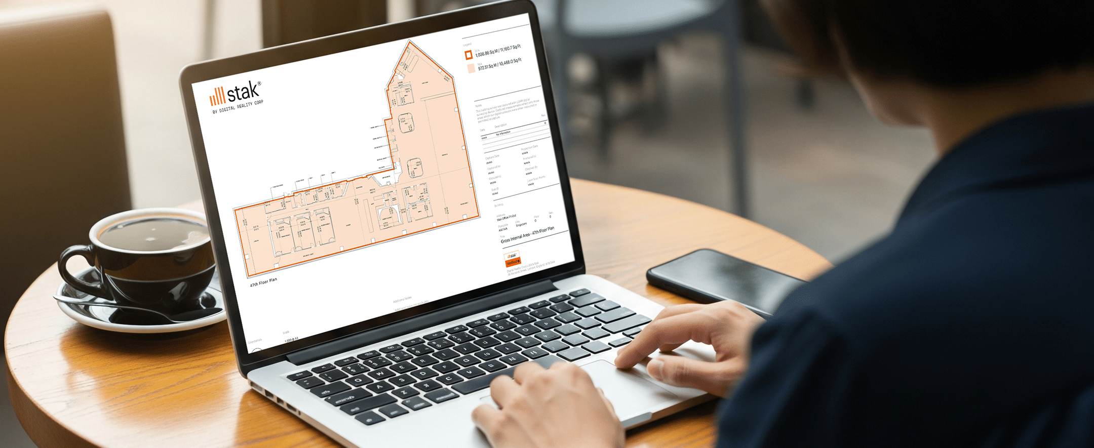


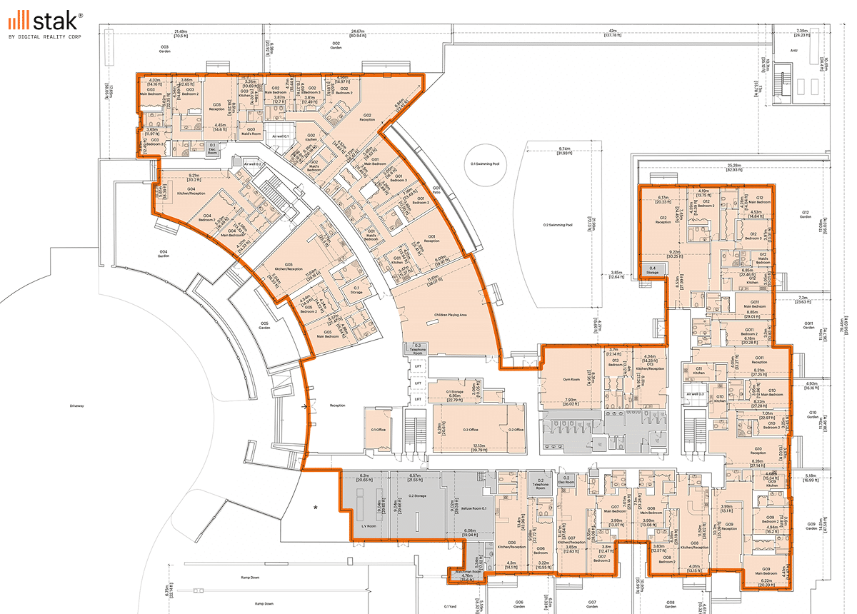


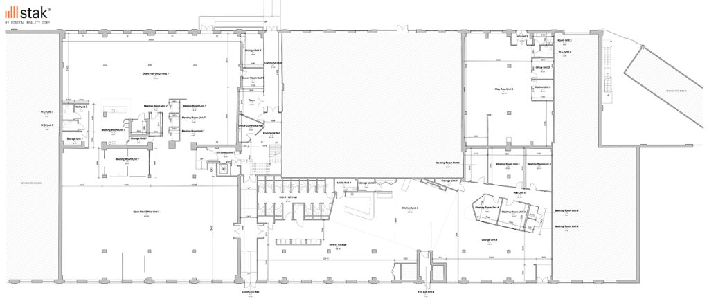
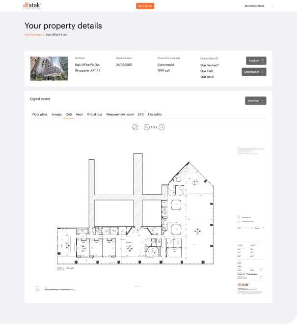
Scan-to-CAD
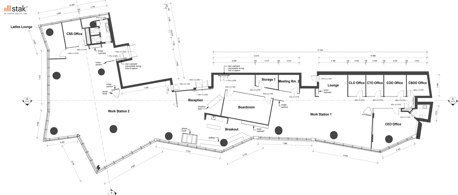
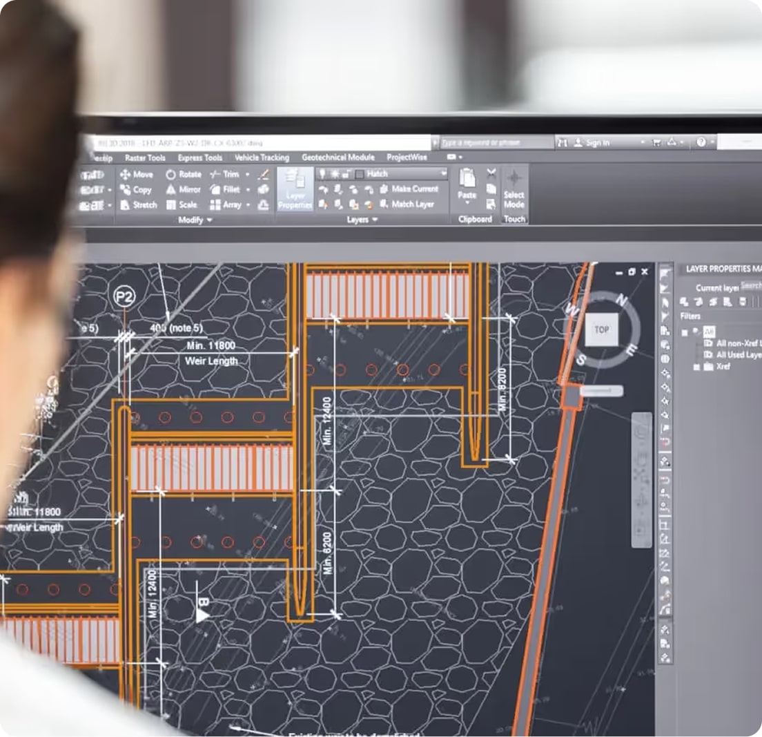
Supporting confident design decisions, regulatory compliance, and seamless coordination.



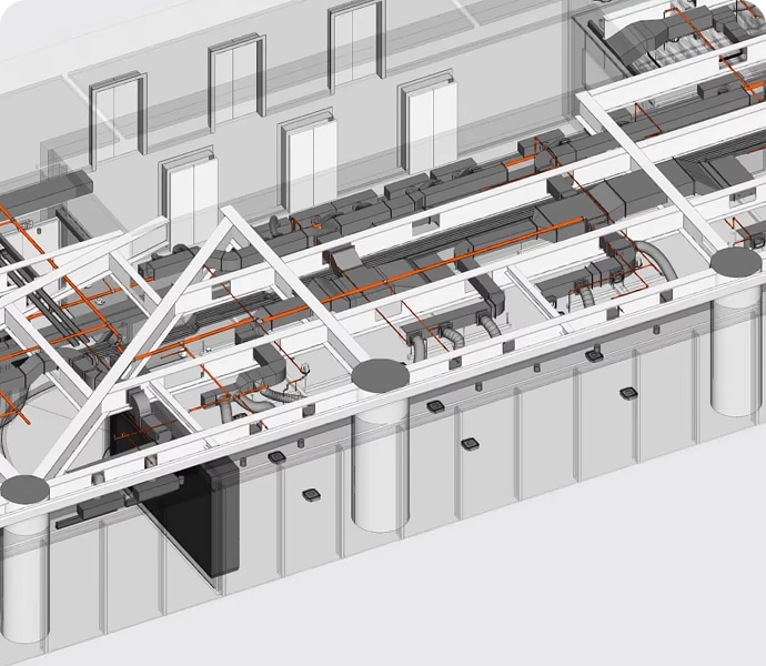
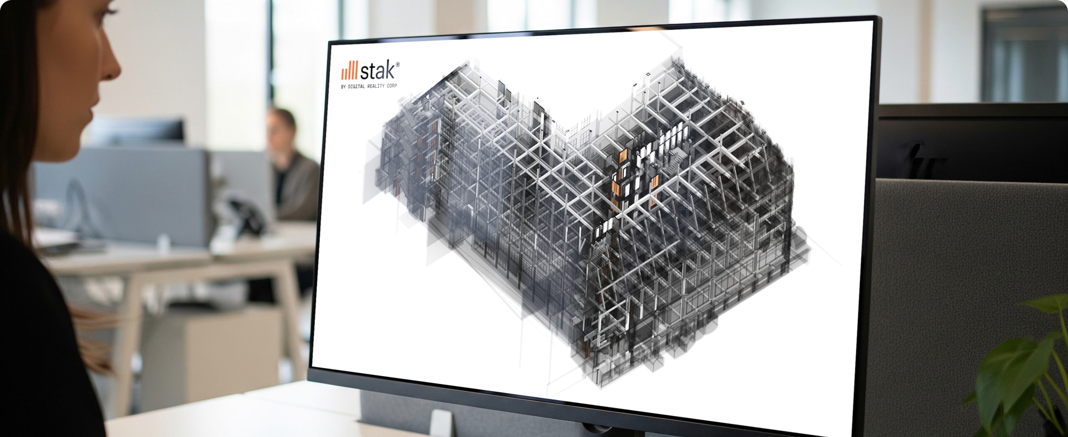
Scan-to-BIM
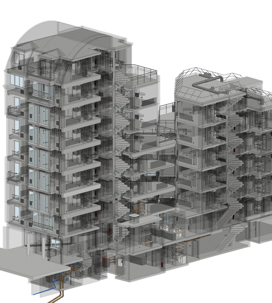
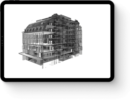
Representation of as-is conditions for building information modelling (BIM).

We work with clients across the real
estate industry
EXPLORE STAK FOR VERIFIED ACCURATE SPATIAL DATA.
View, analyse and share spatial data, so you can inform decisions from
acquisition and disposals, to design, sustainability and facilities management.
Through Stak Hub, explore and manage your spatial data effortlessly.
Stak Hub brings all your verified spatial data together in one secure, intuitive platform. Access floor plans, CAD, BIM, photography and digital twins instantly, all produced through DRC’s proprietary technology. With every asset structured, standardised and easy to navigate, you gain complete visibility and control across your portfolio.
Improve efficiency across your real estate with data-informed decisions
From streamlining design processes to cutting operational costs, our solutions deliver tangible results that drive efficiency and innovation at every stage of your project lifecycle.

0%
reduction in time to
complete design process
complete design process
Every team can improve
efficiency with Stak data
Award-winning end-to-end technology and operating model for unparalleled speed and accuracy
WITH STAK VERIFIED®
- Ensure that rents & rates are optimised
- Accurately assess capital values and building reinstatement valuations
- Visual source of reference
- Cohesive & consistent marketing collateral with rapid turnaround times
WITH STAK CAD
- Integral to planning applications and listed building consents
- Facilitates license to alteration consents
- Visual source of reference
WITH STAK REVIT
- Efficiency in inspections, ratings and valuations
- Facilitate streamlined landlord and tenant issue discussions
- Identification of vacant space
- Assessment of divisibility
- Assistance to help desk to facilitate identification of issues
- Tagging of wayleaves and rights of way / adjacent licenses
WITH ADDITIONAL STAK ASSETS
- Assess portfolio area usage to ensure optimisation
- Facilitate dilapidations condition report
- Accurate, consistent level of compliance and presentation
WITH STAK VERIFIED®
- Cohesive & consistent marketing collateral with rapid turnaround times
- Facilitating desktop valuations
WITH ADDITIONAL STAK ASSETS
- Identify all buildings within ownership
WITH STAK VERIFIED®
- Assess general arrangement and areas for maintenance optimisation
- Fire safety plans
- Health & safety plans
WITH STAK CAD
- Move management / building restacks
WITH STAK REVIT
- Identify location of assets within all properties
- Move management / building restacks
- Basis for CAFM system & BIM modelling
- Assistance to help desk to facilitate identification of issues
WITH ADDITIONAL STAK ASSETS
- Identify all buildings within ownership
WITH STAK VERIFIED®
- Assess general arrangement and areas for design opportunities
- Visual source of reference
WITH STAK REVIT
- Review potential opportunities within the portfolio
- Review and analyse assets virtually, reducing physical inspections
- Immediate desktop analysis, increasing speed and reducing cost
- Assistance to help desk to facilitate identification of issues
WITH ADDITIONAL STAK ASSETS
- Assess portfolio area usage to ensure optimisation
- Facilitates dilapidations condition report
- Identify all buildings within ownership
WITH STAK VERIFIED®
- Assess general arrangement plans for design opportunities
- Analysis of accurate area calculations
- Visual source of reference
WITH STAK CAD
- Immediate production of architectural drawings without revisiting site
- All drawings conform to architectural standards
- Measurement guaranteed and insured to 99% accuracy
WITH STAK REVIT
- Review potential opportunities within the portfolio
- Review and analyse assets virtually, reducing physical inspections
- Immediate desktop analysis, increasing speed and reducing cost
- Reduced consultant costs
- Enhanced stakeholder engagement
- Rebranding; 3D modelling to become the point of sale
WITH ADDITIONAL STAK ASSETS
- Assess portfolio area usage to ensure optimisation
WITH STAK VERIFIED®
- Foundation for evaluation of EPC compliance
- Review and analyse assets virtually, reducing physical inspections
- Visual source of reference
WITH STAK CAD
- Accurate information to better assess efficient of buildings
WITH STAK REVIT
- Foundation for evaluation of ESG compliance
- Review and analyse assets virtually, reducing physical inspections
- All evaluations based on accurate cubic capacity
- Assess efficiency to support SBTI (Science Based Targets Initiative)
Highly efficient scan and capture
by Stak Digital Surveyors
Our RICS certified Digital Surveyors conduct fast and secure data capture of each space.
We deploy our team of professional Digital Surveyors at scale
- Highly trained and experienced
- Industry leading hardware
- Proprietary software for data capture and upload

Advanced data processing, powered by proprietary technology
Rapid computation of spatial data by Digital Reality Corp cloud software.
Rigorous quality control by our expert team of BIM specialists.
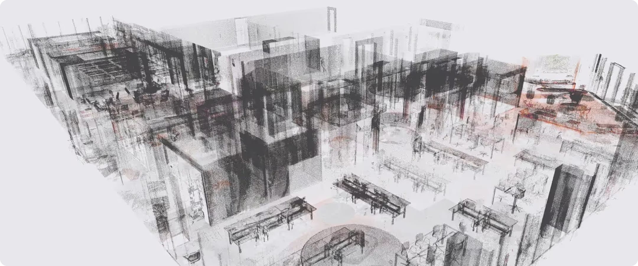
With award-winning proprietary software, we’ve transformed how spatial data is delivered
- Innovative DRC® software powers the processing of Stak by Digital Reality Corp® data
- Global team of BIM and technology specialists
 Award-winning end-to-end
technology and operating model for
unparalleled speed and accuracy
Award-winning end-to-end
technology and operating model for
unparalleled speed and accuracy