A new way for surveyors to collaborate, grow and lead in digital capture
We're launching our Strategic Partner Network, a new way for skilled surveyors and LiDAR technicians to collaborate on global projects, expand their capabilities, and work with cutting-edge spatial technology, including our proprietary Spatial Intelligence Platform.
Access future-forward technology to expand your business opportunities

Strengthen and enhance your own client delivery

Expand your business using our advanced spatial intelligence platform - Spatial-IQ
What you'll gain

Access to tech-driven delivery
Access to our tech-driven international delivery platform providing measured surveys, floor plans, CAD, and full BIM-ready Revit models, all delivered to RICS, IPMS, and BOMA standards

Operations as a Service (OaaS) model
Our Operations as a Service (OaaS) model allows you to focus on sales, account management, and scanning while we handle delivery, improving your profit margins and adding value to your client

Global collaboration
Collaboration opportunities across global projects

Fully integrated
Integration with advanced capture workflows and AI-driven processing

A winning ecosystem
The backing of a technology-first award-winning, industry-leading surveying ecosystem
Who we’re looking for
future-forward. GROWTH. POTENTIAL.
Experienced LiDAR technicians and surveyors with proven expertise in point cloud capture. We welcome interest from independant professsionals, teams, and established copanies looking for genuine partnership. Ready to scale your business and improve your margins? Register your interest and join the next generation of digital capture partnerships.
Become a trusted capture professional
When completing the form, please highlight your experience with:
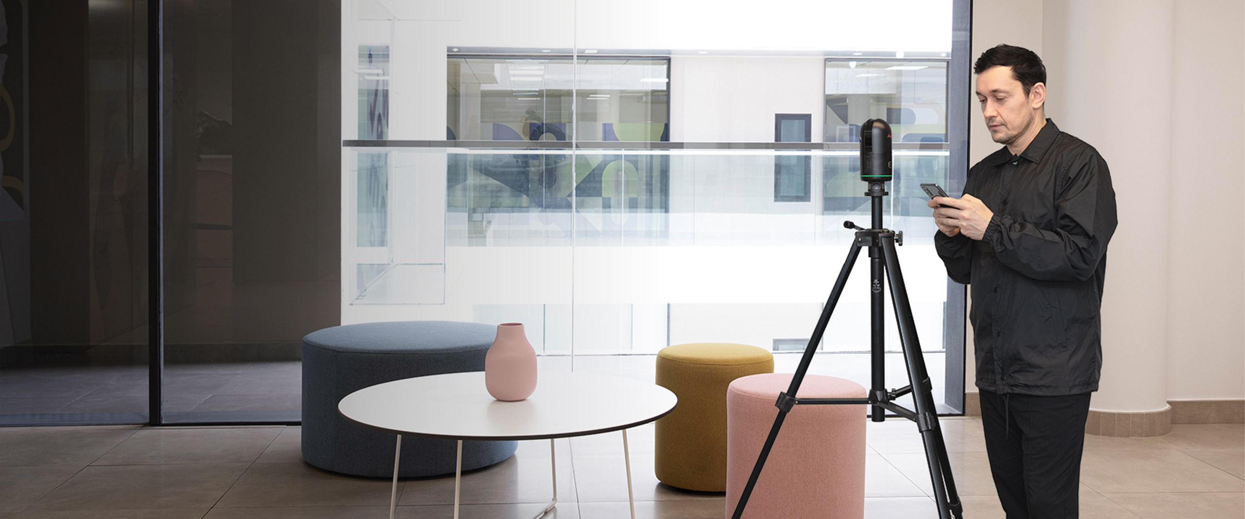
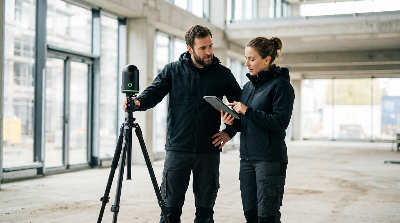
LiDAR scanning principles and point cloud capture best practices
Software such as Autodesk ReCap, FARO Scene, Leica Cyclone, Trimble RealWorks, Cintoo, or any other tools